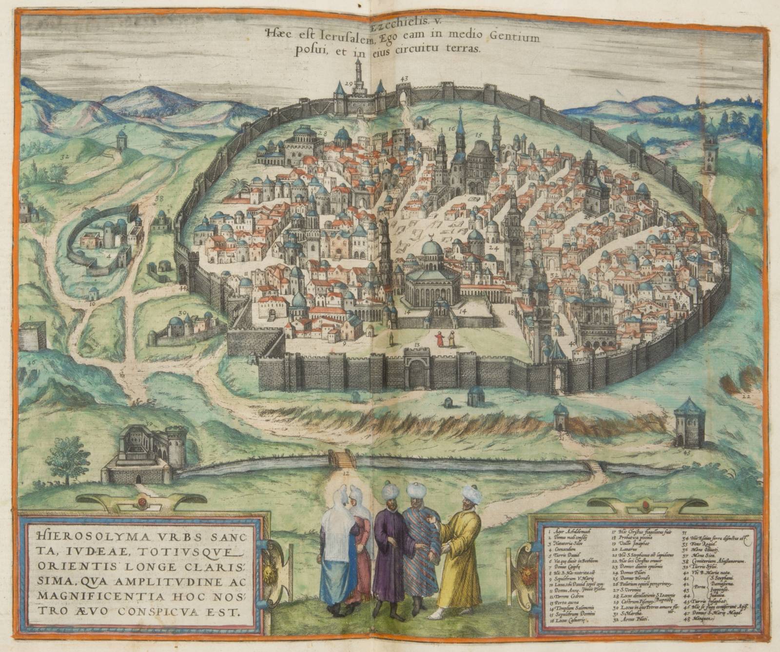
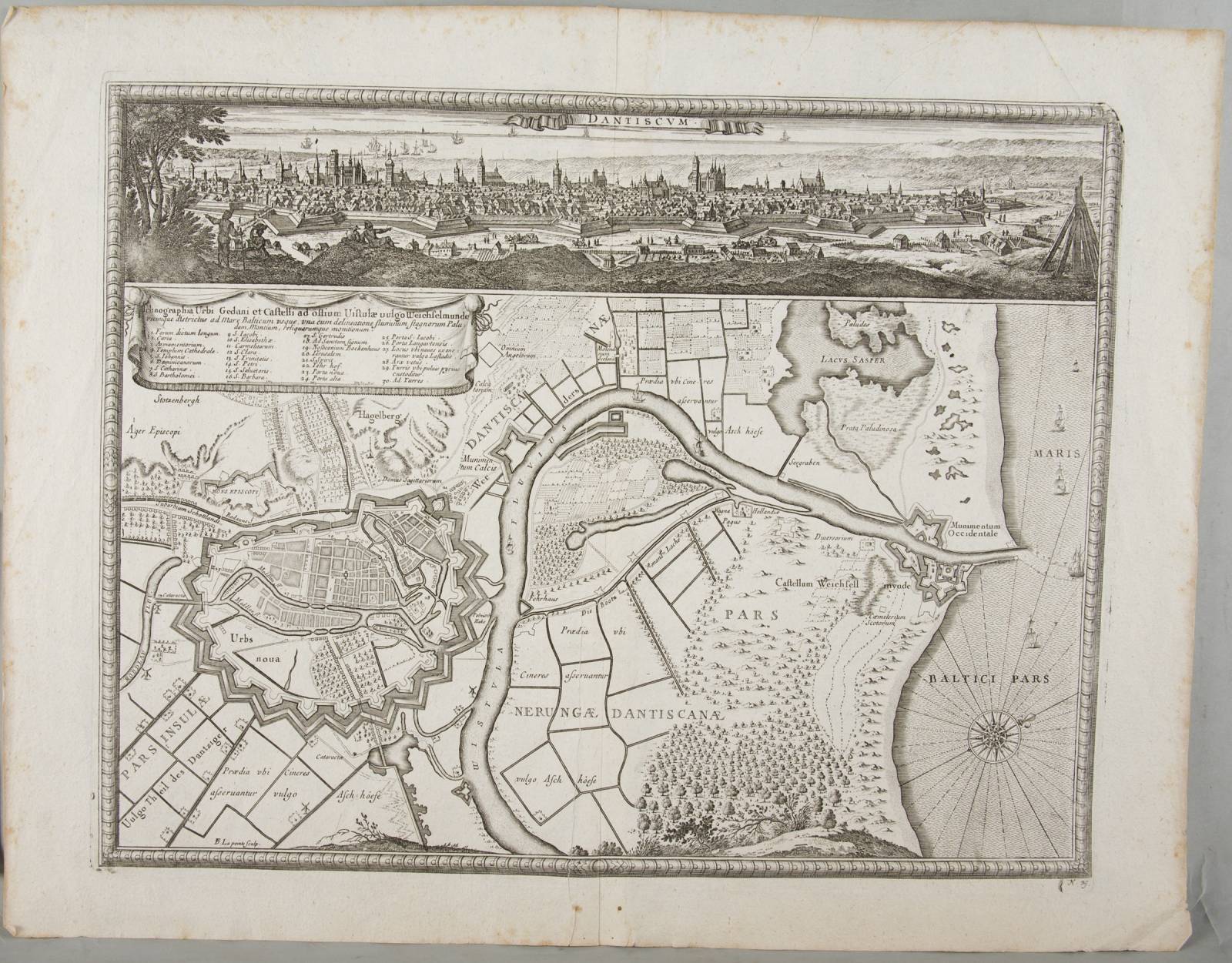
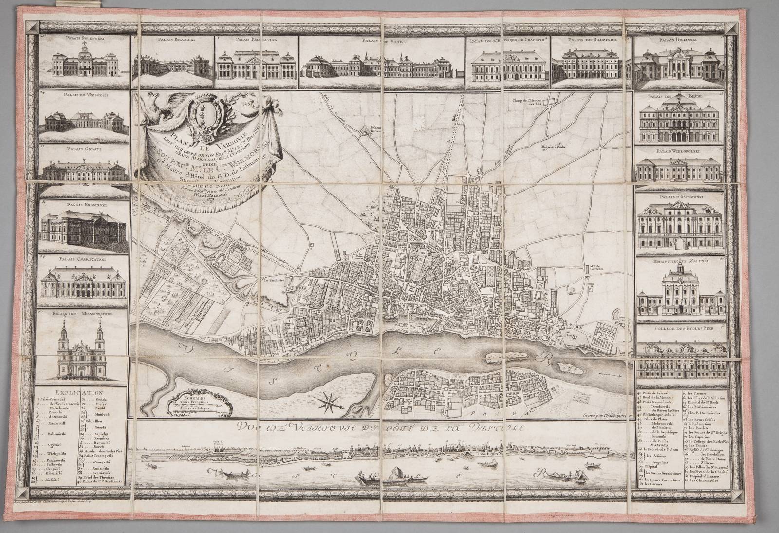
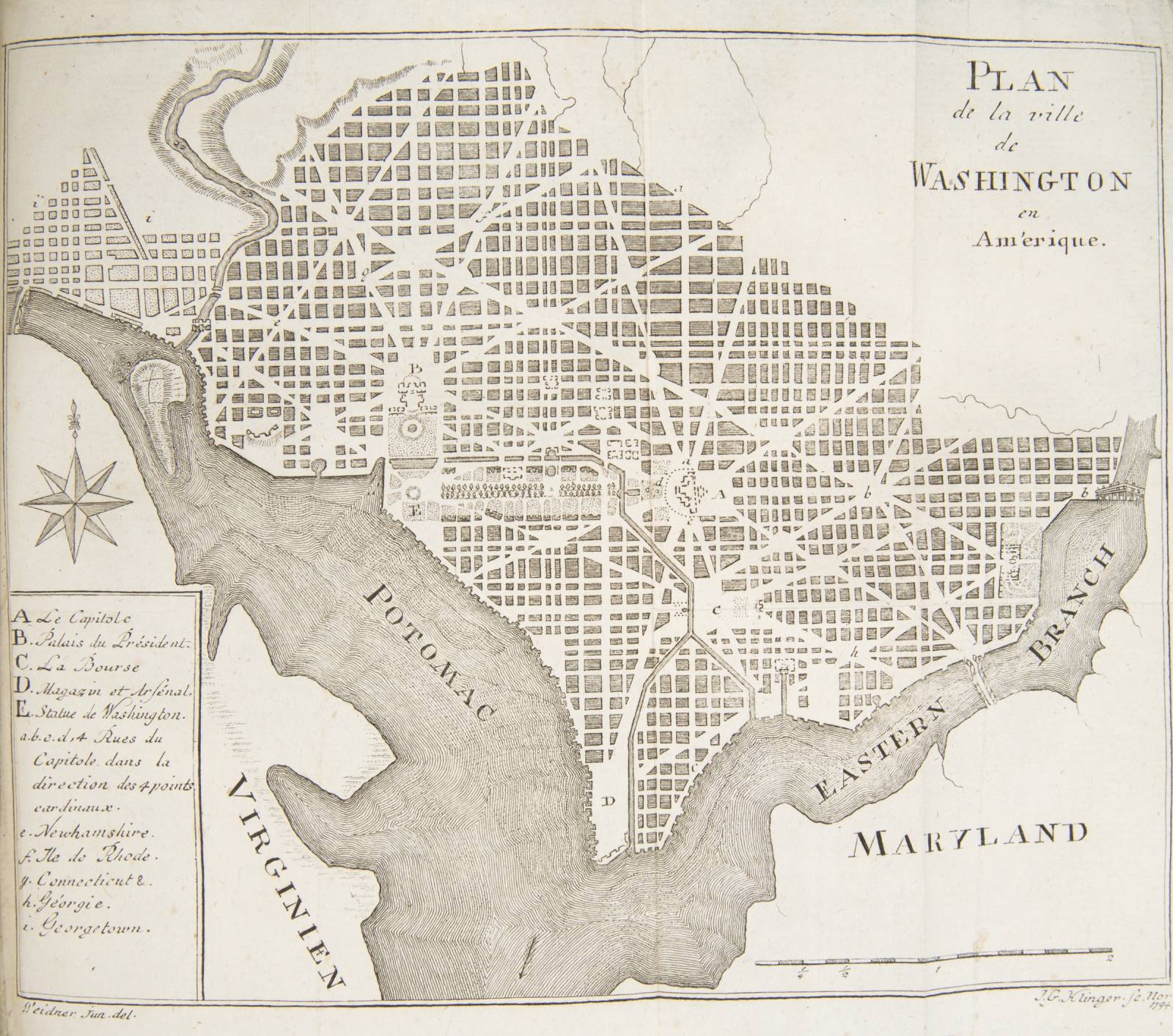
If you love exploring cities through old maps, this is the exhibition for you. Not Just Capital Cities. Cities of the World in Early Prints at the Emeryk Hutten-Czapski Museum covers 55 volumes published between the 16th century and the early 19th century, and 25 loose plans from between the 17th and 19th centuries. The famous atlases, geography, history and travel books and early constitutions, statutes and documents tell a tale of how the role of cities has changed over the ages, until the great revolution ushered in by the era of steam power and electricity.

Not Just Capital Cities. Cities of the World in Early Prints
Temporary exhibitions
My events
Add your favourite events to My events section to have them always at your fingertips.

We recommend

36th International Festival of Kraków Composers
This year’s 36th Krakow International Festival of Composers explores the close relationship between the world of sounds and the kingdom of numbers – a phenomenon humankind has been...

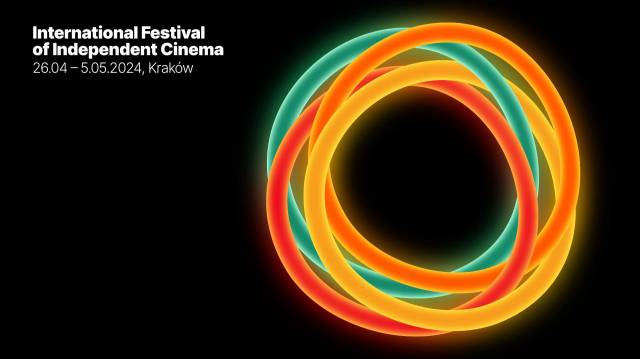
Mastercard OFF CAMERA 2024
Stars of Polish and world cinema, outdoor screenings, backgrounds to TV series, concerts by artists from all corners of Europe – all in Kraków’s unique atmosphere! ...
4 Traditions Festival
Music explores myriad languages, nationalities and cultures, yet the emotions it dresses up in sounds are universal to us all. That’s the message of the 4 Traditions Festival prepared by the...

ADVERTISEMENT
Similar events